
deposition-geology

You probably remember learning about Earth's internal layers when you were a kid in Earth...
Nature, Published online: 21 August 2026; doi:10.1038/d41586-026-02596-0 Seismologists measured the varying speeds of a ‘thunderquake’ to survey an area with little seismic activity.
The “Kashmir Seismic Gap” is located between the epicentral regions of the 1905 Kangra and the 2005 Kashmir earthquakes. The area corresponds to the Jhelum basin and encompasses the Kashmir Valley. The geodetic measurements indicate that the Kashmir Himalaya accommodates ∼12 mm/yr of India-Asia convergence and ∼5 mm/yr of dextral shear. However, except for the known Karakoram Fault, which is furt…
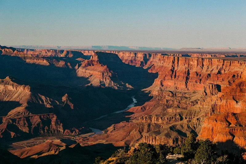
A gigantic line of cliffs may once have stretched for thousands of kilometers across ancient North America, helping erase more than a billion years of geological history from rocks now exposed in the Grand Canyon. Scientists led by the University of Southampton in the UK believe this enormous landscape formed about 800 million years ago, […] The post Lost Mega-Cliff May Explain the Grand Canyon’s…
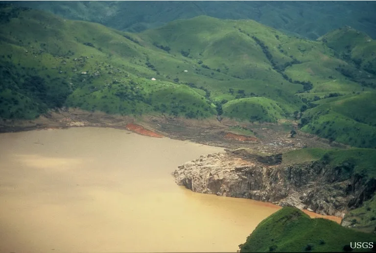
On the evening of August 21, 1986, an unusual stillness blanketed the green highlands of northwestern Cameroon. The local villagers in Nyos, Cha, and Subum were preparing for bed, totally unaware that the crater lake nearby had reached its breaking point. Without warning, a wave of gas burst from the lake and spilled over the volcanic crater rim and cascaded into the valleys. Unseen, heavy, and c…
The end-Permian extinction devastated the oceans before dinosaurs existed. Its link to the Siberian Traps depends on not just immense lava volumes, but magma heating volatile-rich rock.
A colossal cliff system created as the supercontinent Rodinia broke apart may have exposed the heart of the Grand Canyon nearly a billion years before the Colorado River carved it. The ancient landscape could also help explain why enormous sections of North America’s geological record appear to be missing.

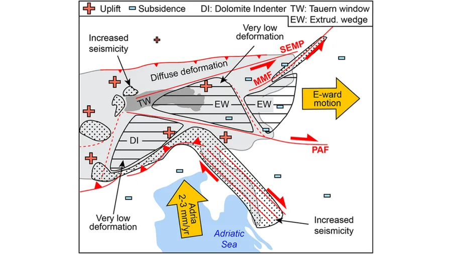
Active crustal deformation in the Eastern and Southern Alps demonstrating rigid block tectonics with indentation and lateral (out of orogen) crustal extrusion tectonics as the main players. Credit: Grützner et al. [2026] , Figure 17
Ground subsidence in abandoned gypsum mines represents a typical geological hazard in evaporite regions, posing a direct threat to infrastructure and public safety. This study investigates a collapse-induced seismic event (ML3.4) that occurred on 8 March 2025, in an abandoned gypsum mine in Hunan Province, China. The primary objective is to propose a multi-scale conceptual model for this stratal …
The Sinian Dengying Formation in the western Deyang-Anyue Rift Trough is a key target for deep carbonate gas exploration, yet its reservoir controls remain debated. Integrating core, thin-section, and geochemical data, this study clarifies the coupled mechanisms governing reservoir development. Results reveal that reservoirs predominantly occur in platform-margin and high-energy shoal facies, wit…

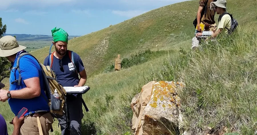
Dr. Alison Graettinger The scale of geologic history is not just spread over a larger time span than many of us are used to thinking about, but also a larger physical scale. To help train future geologists to be comfortable with these large scales, and three dimensional challenges of our planet's history, we take students out into the field and make them map, the old fashioned way, by hand. I wen…

Wow, it is the two year anniversary of this blog! We wanted to take a moment to thank all of our readers who have visited the blog over 100,000 times! While we write because we love talking about volcanoes and our work studying them, it is nice to see that there is interest in what we’ve taken the time to write about. So a heartfelt thank you! Alison and Janine in Puerto Varas Chile, attending C…

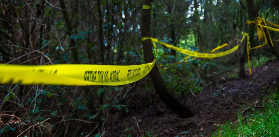
Borrowed from geology, subsurface imaging may help us solve crimes – if we know how best to use the tools.

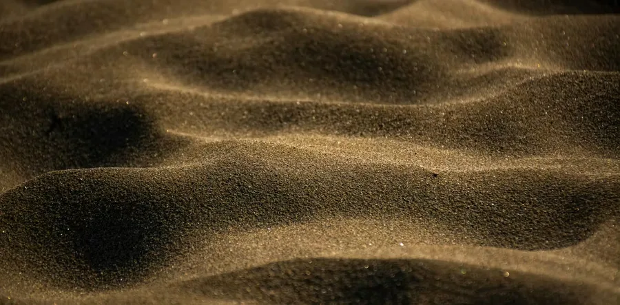
Understanding the movement of granular materials can help with everything from modelling landslides to shifting grains in silos.

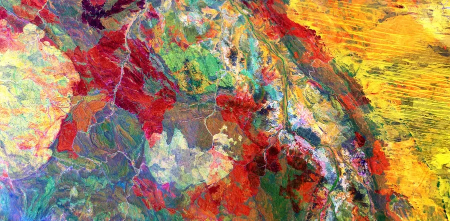
The United States Geological Survey has a vast collection of satellite images capturing breathtaking geological features of our planet. As a geologist, I’ve picked eight of the most fascinating.

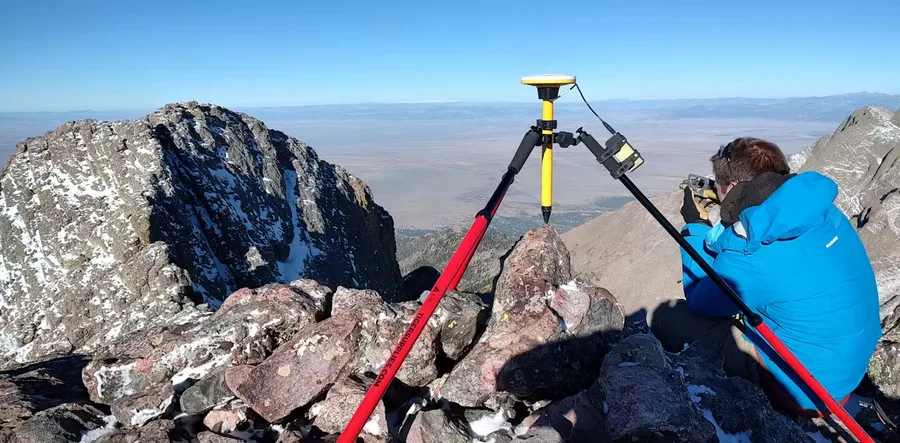
To most accurately measure mountain peaks, Eric Gilbertson lugs equipment all the way to the top.

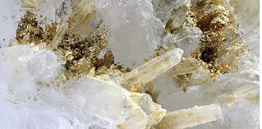
Gold nuggets grow much bigger than they should – and electricity produced by earthquakes may be the reason why.


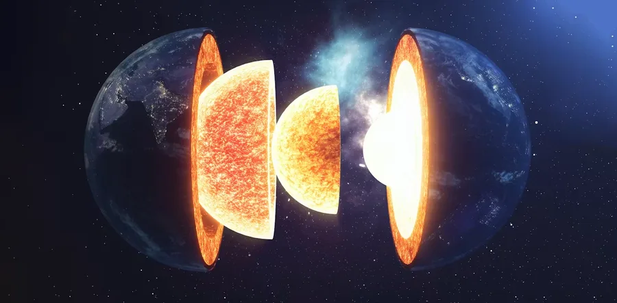
Earth doesn’t just have an inner core. It also has an innermost inner core, a solid ball within the solid ball in the very middle of the planet.

research.ioSign up to keep scrolling
Create your feed subscriptions, save articles, keep scrolling.