physicsrelativity
Eos
Emily Gardner
3d ago
biodiversityclimate-scienceenvironmentmarine-biology
earth-sciencegeology
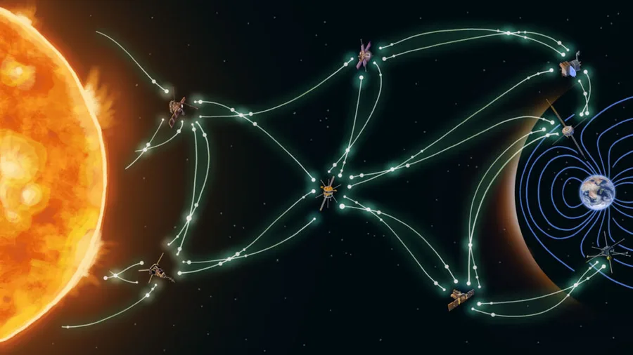
Savvas Raptis·...·Anthony Sciola and Simon Wing
3d ago
aiastronomymachine-learningspace-exploration
climate-scienceenvironmentnatural-hazardssustainability
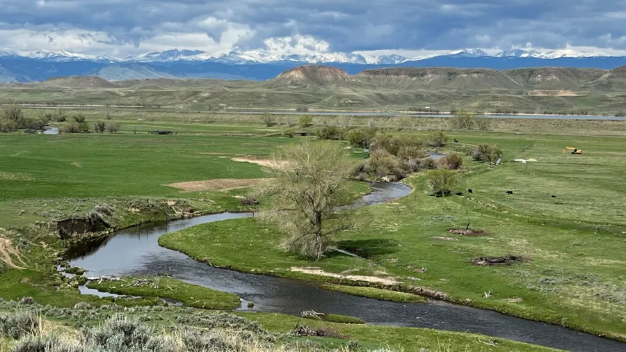
Beatrice L. Gordon·...·Rosemary W. H. Carroll and Adrian A. Harpold
5d ago
agricultureclimate-scienceenvironmentsustainable-farming
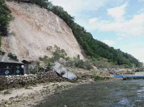
earth-sciencegeologynatural-hazards
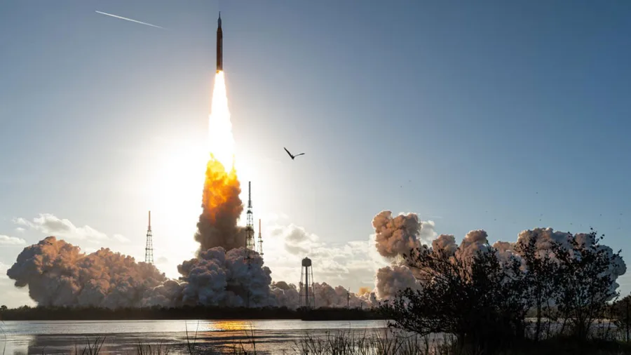
astronomyenvironmentpollutionspace-exploration
earth-sciencegeologynatural-hazards
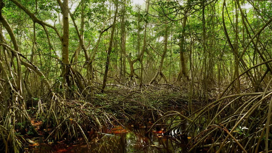
biodiversityclimate-scienceenvironment
astronomyastrophysicschemistryprebiotic-chemistry
Lei Zhou·...·Lin Wang and Chunhua Qiu
10d ago
biologyclimate-scienceecologyenvironmentmarine-biology
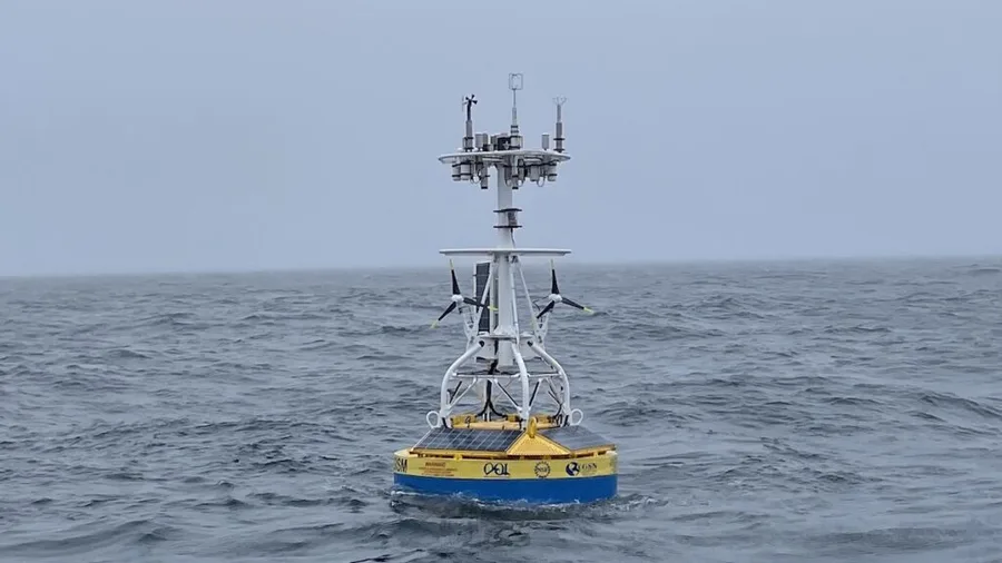
environmentoceanography
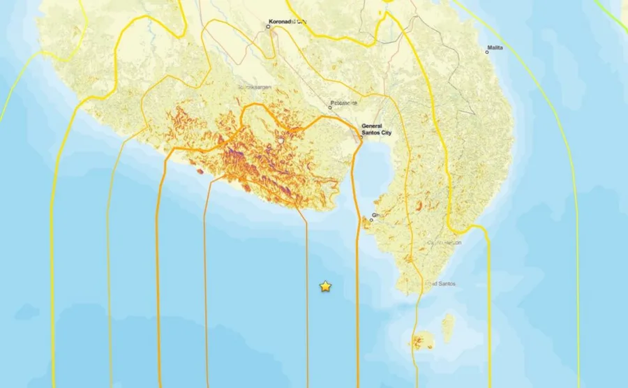
earth-scienceseismology
Sign up to keep scrolling
Create your feed subscriptions, save articles, keep scrolling.
Already have an account?