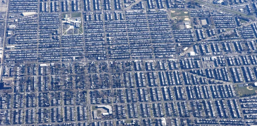
An interdisciplinary group of researchers at Penn State ran computer models on two Philadelphia census tracts. The neighborhood with more vulnerable residents was also hotter.
Niiyokamigaabaw Deondre Smiles·...·University of British Columbia
3d ago
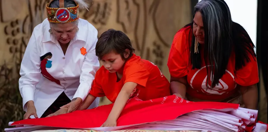
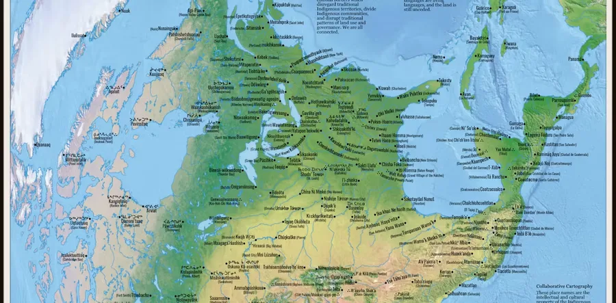
‘Indigenization’ across departments implies the need for consultation with local Indigenous communities and a shift towards all departments and faculty recognizing we work on Indigenous lands.
Louis M. Kyriakoudes·...·Middle Tennessee State University
3d ago
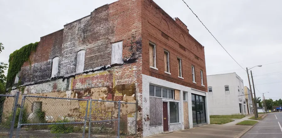
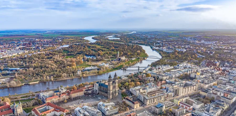
After a 20th-century manufacturing boom, the region has been in a decadeslong decline. Rural factory towns can blame technology and globalization for their woes.
Patty Heyda·...·Washington University in St. Louis
3d ago
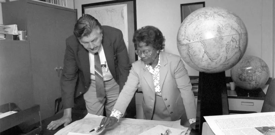
From who gets to vote to how people travel and where taxpayer dollars are funneled, politicians and urban planners wield maps to control public imagination.
Hatim Sharif·...·The University of Texas at San Antonio
3d ago
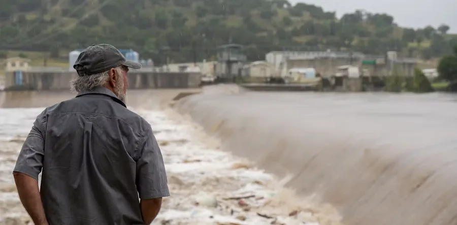
A hydrologist explains why the region is known as Flash Flood Alley and how its geography and geology can lead to heavy downpours and sudden, destructive floods.
Mark Alan Rhodes II·...·Michigan Technological University
3d ago
With 100 hours aboard Amtrak trains, students learn about sustainable travel and destination tourism, using cities along the routes as living laboratories.
Innisfree McKinnon·...·University of Wisconsin-Stout Polytechnic
3d ago
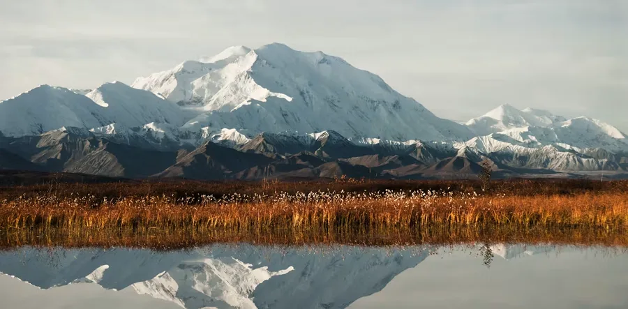
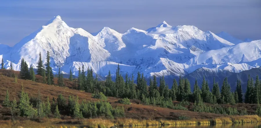
How do place names get made and then changed? There’s a process. But it involves people as well as bureaucracy, so it’s not simple or quick, as President Trump is about to find out.
Christina Elizabeth Dando·...·University of Nebraska Omaha
3d ago
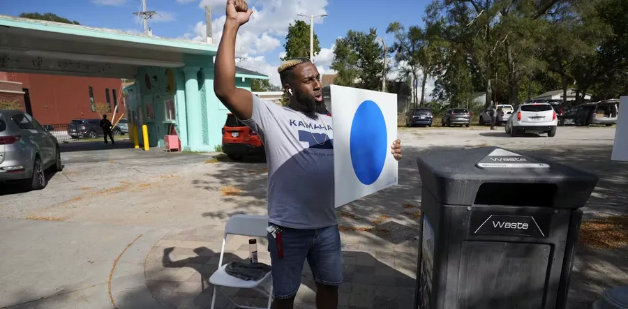
Blue dot signs are going up across Omaha to show support for Kamala Harris. Heavily Republican Nebraska splits its electoral votes, and Omaha cast its single vote for Dems in 2008 and 2020.
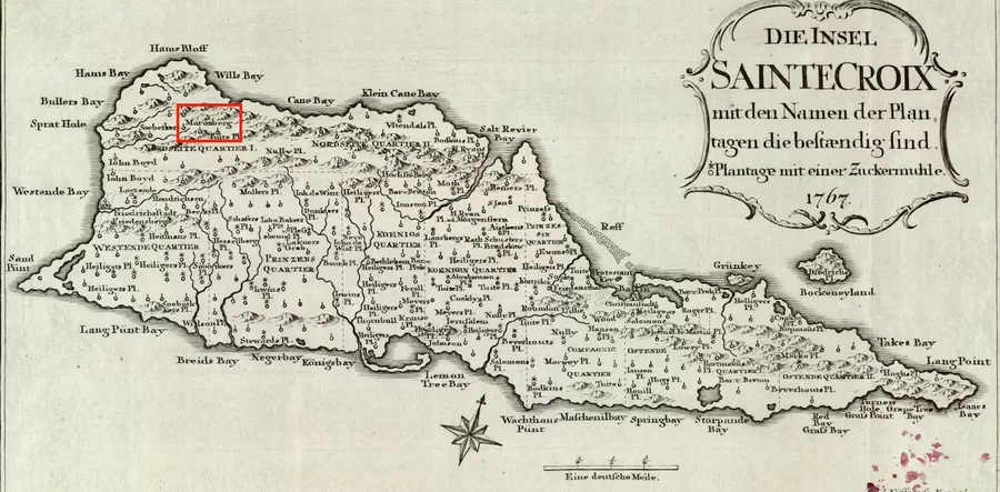
As many as 10% of enslaved people on St. Croix escaped. Where they went has remained a mystery, but scientists are using new mapping technology to find answers.
The Black Londoners Project approaches Black history geographically by supplementing narratives of 16 Black individuals with archival evidence about their lives.
Tristen Anne Norrie Jones·...·University of Sydney
3d ago
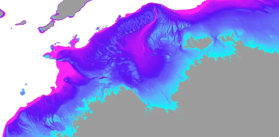
Our new study reveals a mosaic of habitable landscapes – now submerged by the ocean – once supported up to 500,000 people living in Australia’s northwest.
Gov. Tim Walz used geographic information systems as a schoolteacher. How will that experience come into play if he and Kamala Harris win the White House in November?





 research.io