earth-sciencehydrology
hydrology

Science News | Latest Updates on Scientific Discoveries | The Hindu

Biological sciences : Scientific Reports subject feeds
1d ago
earth-sciencehydrology

Scientific Reports
Ibrahim Demir
3d ago
aiearth-sciencehydrologymachine-learning

TotalSim
engineeringhydrology

Frontiers in Earth Science | New and Recent Articles
Deny Juanda Puradimaja
4d ago
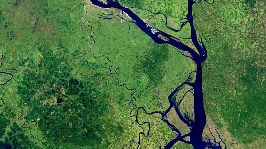
earth-sciencehydrologyoceanography

Frontiers in Remote Sensing | New and Recent Articles
Xiaodong Cui
7d ago
earth-sciencegeomorphologyhydrology

Manusights Blog
earth-sciencehydrology

USGS Publications Warehouse
earth-sciencehydrology

Eos
earth-sciencehydrology
Frontiers in Earth Science | New and Recent Articles
Yong Zhao
14d ago
earth-scienceengineeringgeotechnical-engineeringhydrologynatural-hazards
Scientific Reports
Haoran Wang
16d ago
climate-scienceearth-scienceenvironmenthydrologysoil-science

Geo-Logic Associates
Danielle Aronson
16d ago
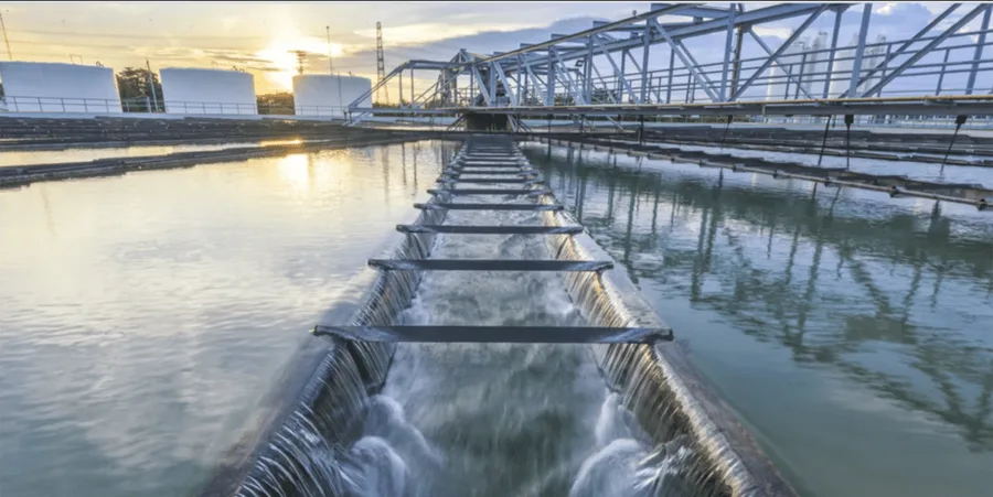
earth-scienceenvironmenthydrologywater-resources
Frontiers in Earth Science | New and Recent Articles
Qingfeng Wen
17d ago
earth-sciencehydrologyremote-sensing

Nature Water
earth-scienceenvironmenthydrologysustainability

Center for Hydrologic Innovations
climate-scienceearth-scienceenvironmenthydrologysustainability

Frontiers in Environmental Science | New and Recent Articles
Haibing Wang
18d ago
earth-sciencehydrologyremote-sensing

School of Aquatic and Fishery Sciences
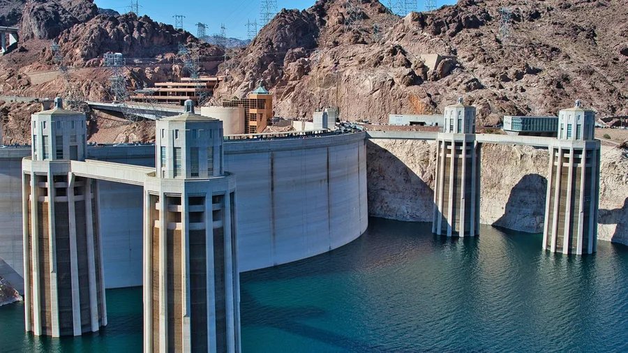
earth-sciencegeologyhydrology
USGS Publications Warehouse
Carson·...·Matthew T.
18d ago
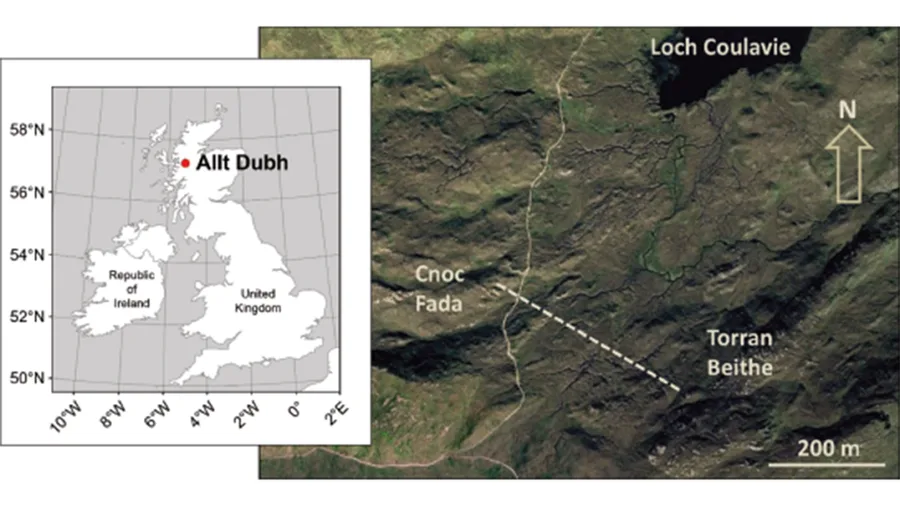
earth-sciencehydrology
USGS Publications Warehouse
Harkness·...·Bryant
19d ago
earth-scienceenvironmenthydrologywater-resources
USGS Publications Warehouse
Sartain·+7 more
19d ago
earth-sciencehydrology
Sign up to keep scrolling
Create your feed subscriptions, save articles, keep scrolling.
Already have an account?