earth-scienceremote-sensing
remote-sensing
A
All-geo RSS Feed

Scientific Data
Paul A. Dirmeyer
2d ago
earth-sciencemeteorologyremote-sensing

Avakaza Geoscience Research Technologies
earth-scienceenvironmentgeochemistryremote-sensing

NASA
earth-sciencemeteorologyremote-sensing

Scientific Reports
Chenggang Gao
5d ago
algorithmscomputer-scienceremote-sensing

Latest from Live Science
earth-sciencegeologyremote-sensing

Biological sciences : Scientific Reports subject feeds
earth-sciencegeochemistryremote-sensing

Frontiers in Environmental Science | New and Recent Articles
aienvironmentmachine-learningremote-sensingsustainability

Latest from Space.com
earth-scienceenvironmentremote-sensingsustainability

Newswise: Latest News

Florida State University
11d ago
earth-scienceoceanographyremote-sensing
Frontiers in Environmental Science | New and Recent Articles
Yuhan Jiang
11d ago
climate-scienceearth-scienceenvironmentmeteorologyremote-sensing

Biological sciences : Scientific Reports subject feeds
Lisa Greer et al.
12d ago
biologyearth-sciencemarine-biologyremote-sensing
Scientific Data
Simona Scollo
12d ago
earth-scienceremote-sensing

News from sciencenews.dk
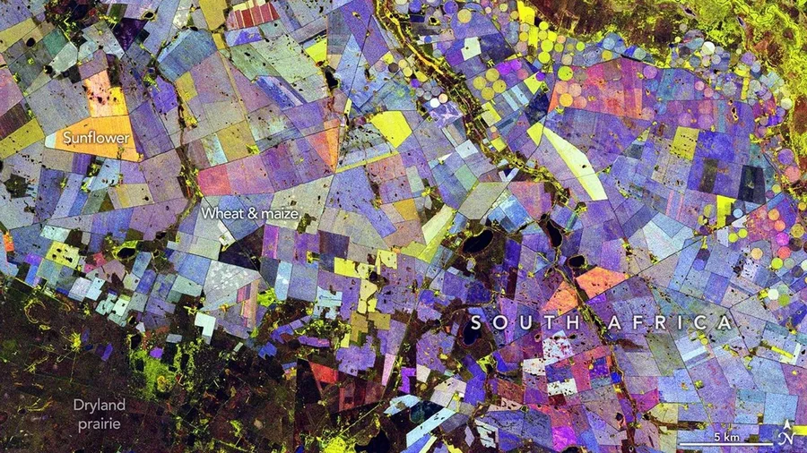
agricultureaimachine-learningremote-sensingsustainable-farming

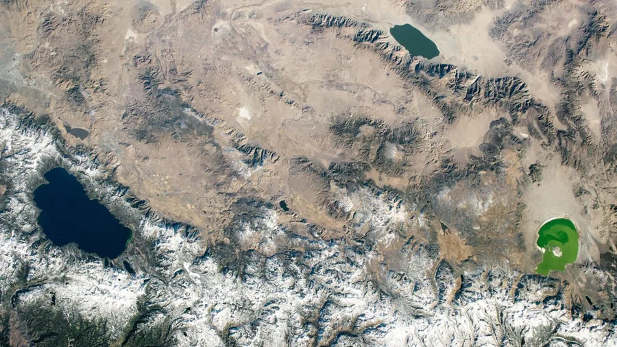
Nature Geoscience
earth-sciencegeochemistryremote-sensing

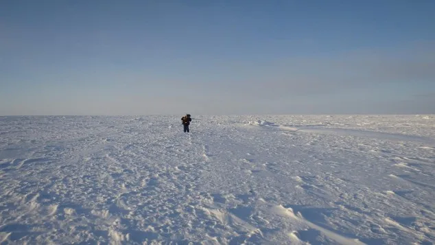
Journal of Glaciology
earth-scienceglaciologyremote-sensing
Biological sciences : Scientific Reports subject feeds
earth-scienceremote-sensing

Research Communities by Springer Nature
Moatassim Raoof
14d ago
ai-forecastingearth-sciencegisremote-sensingtechnology

NASA Science

earth-scienceremote-sensing
Journal of Glaciology

earth-scienceglaciologyremote-sensing
Sign up to keep scrolling
Create your feed subscriptions, save articles, keep scrolling.
Already have an account?