Christopher Hernandez·...·Loyola University Chicago
3d ago
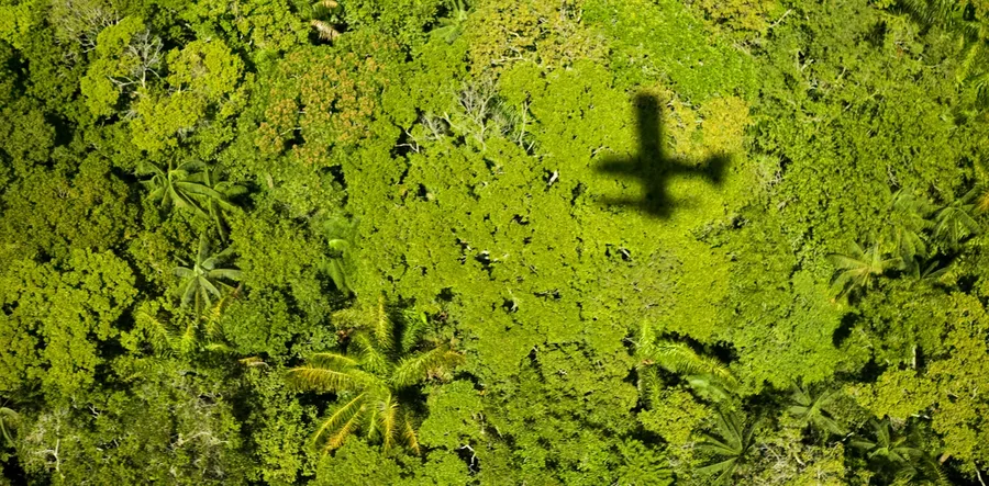
Aerial lidar raises ethical questions because it can collect data remotely without the knowledge or consent of Indigenous and descendant populations that are on the ground.
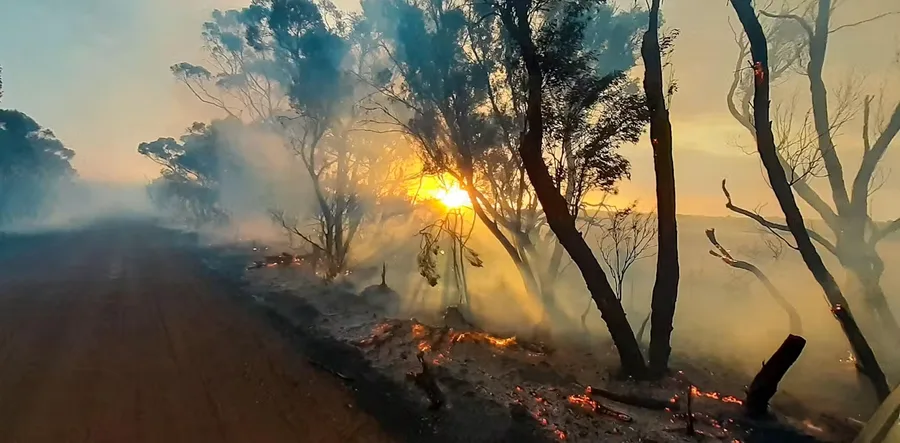
A scientist whose Kangaroo Island home was threatened by the summer’s bushfires says there is a ‘knowledge gap’ between satellite data and useful maps that can protect communities.
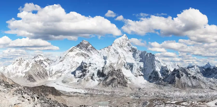
Remote sensing satellites provide the crucial data that helps scientists model disasters so that they can work on predicting avalanche patterns in future.
Mariel Borowitz·...·Georgia Institute of Technology
3d ago
Private satellite companies have boomed in recent years, and many experts have wondered what role they would play in a conflict. They have proved to be invaluable to Ukraine in recent months.
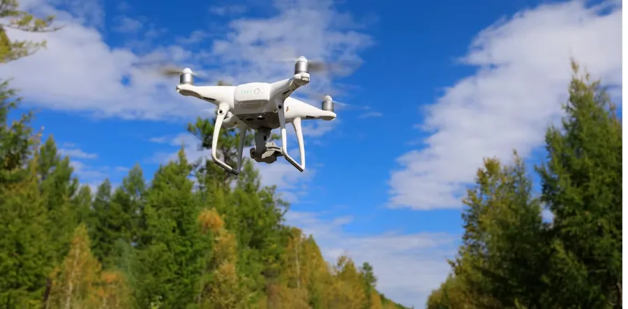
From discovering hidden populations of vulnerable newts to dropping “seed bombs”, two new research papers show how genomics and drones help restore threatened ecosystems.
Hundreds of organizations are working around the world to restore damaged coral reefs. New research shows that rapid ocean warming threatens these efforts.
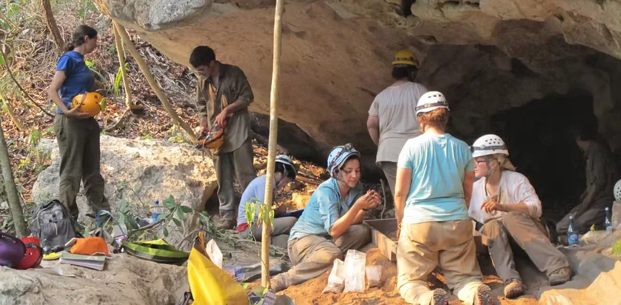
Archaeologists used to dig primarily at sites that were easy to find thanks to obvious visual clues. But technology – and listening to local people – plays a much bigger role now.
Extreme heat waves are putting lives in danger, with some of the hottest urban neighborhoods 10 degrees hotter or more than their wealthier neighbors. Often, these are communities of color.
Madhura Niphadkar·...·Ashoka Trust for Research Ecology and Environment
3d ago
For mapping patterns of plant invasion from the sky, understanding plant behaviour on the ground and using it along with remote sensing cameras, is crucial.
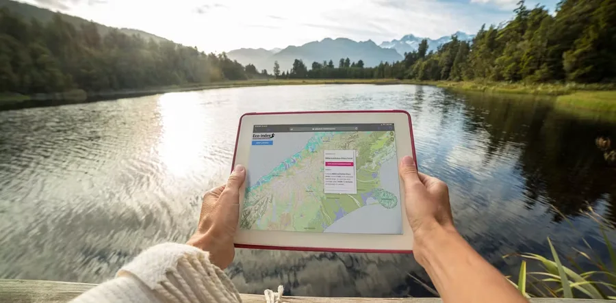
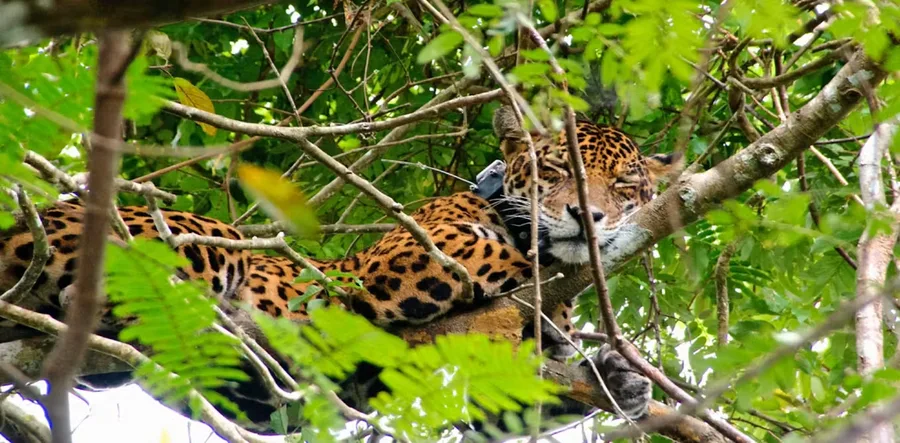
Technologies such as remote sensing and artificial intelligence are making it easier to gather more accurate data on biodiversity. Developing these digital tools will help vital ecosystem restoration.
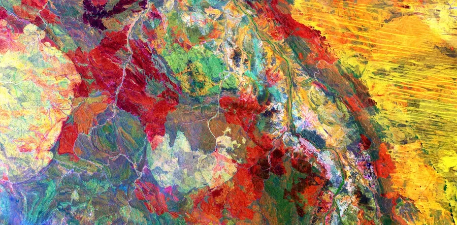
The United States Geological Survey has a vast collection of satellite images capturing breathtaking geological features of our planet. As a geologist, I’ve picked eight of the most fascinating.


 research.io