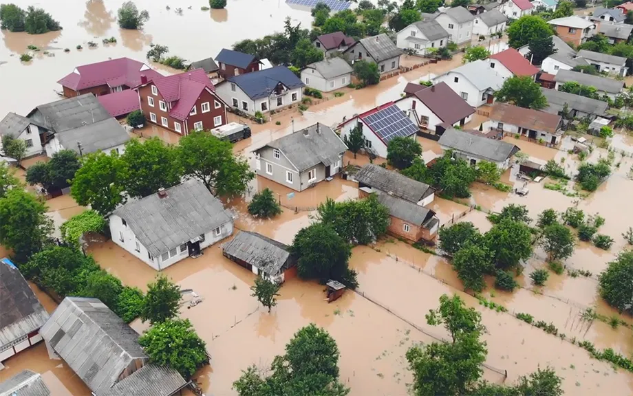
In this paper focused on the identification of Flood risk areas for essential developing flood preventive techniques. Hence, we have been finding the vulnerable sites and developing effective flood management strategies are important task. In this study, we have selected the Panchganga River, flowing in the Kolhapur district of Maharashtra, which are facing flood problems hence we have examined a…
The Environment Agency is transforming its understanding of flood and coastal erosion risk in England.
Over the past four years, we’ve been working with local authorities to develop a new National Flood Risk Assessment (NaFRA) and a new National Coastal Erosion Risk Map (NCERM). Both use the best available data, information and modelling from the Environment Agency and local authorities to provid…
In support of the National Flood Insurance Program (NFIP), the Federal Emergency Management Agency (FEMA) creates flood maps that indicate areas with high flood risk, where mortgage applicants must buy flood insurance. The effects of flood insurance mandates were discussed in detail in a prior blog series . In 2021 alone, more than $200 billion worth of mortgages were originated in areas covered …
Sam MacAllister and Tracy Hodsman from our asset performance teams explain how looking beneath the surface can be a key part of ensuring those on dry land have their flood risk reduced.
The Environment Agency manages many different structures up and down the country that help reduce flood risk. As part of this management, work is carried out to inspect and maintain these structures to check for a…
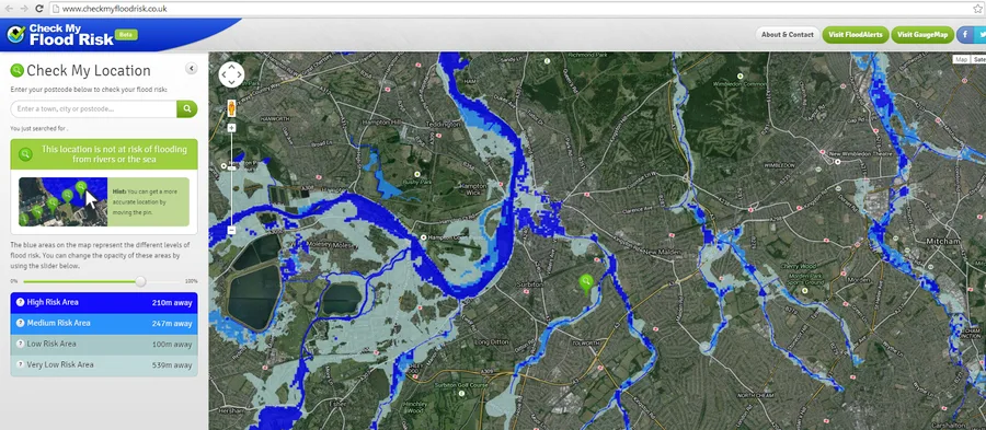
The Check My Flood Risk map from ShootHill is designed to increase awareness among the public of the likelihood of flooding from rivers or the sea, and to encourage people living and working in these areas to find out more and take appropriate action. The map shows the Environment Agency's assessment of the likelihood of flooding from rivers and the sea across England. The information is based on…