


The Check My Flood Risk map from ShootHill is designed to increase awareness among the public of the likelihood of flooding from rivers or the sea, and to encourage people living and working in these areas to find out more and take appropriate action. The map shows the Environment Agency's assessment of the likelihood of flooding from rivers and the sea across England. The information is based on the presence and effect of all flood defences, predicted flood levels, and ground levels. The data is available here under Open Government Licence V2. Please Note: This map is intended as a general guide only. It uses open data api's , which is distributed by the Environment Agency for England. Put a English Postcode (example SW1 1AA) and Categories of: High Risk Area Medium Risk Area Low Risk Area Very Low Risk Area will appear. * Data is for England only. Mapperz Mapping News Blog
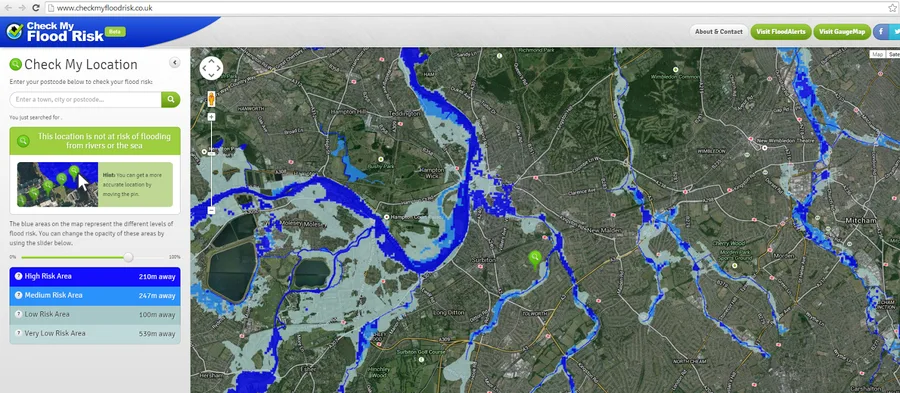
Check My Flood Risk Map
noreply@blogger.com (Mapperz)