


A NASA-supported research team has used data from the Surface Water and Ocean Topography satellite to produce the most detailed map of the ocean floor ever created, identifying close to 100,000 seamounts worldwide, more than double the roughly 44,000 that had previously been catalogued. The findings, led by geophysicist David Sandwell of the Scripps Institution […]
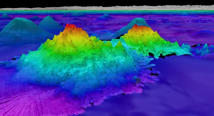
A NASA Satellite Just Found Roughly 56,000 Mountains Nobody Knew Were There. They Were All Underwater.
Joel Bryant