
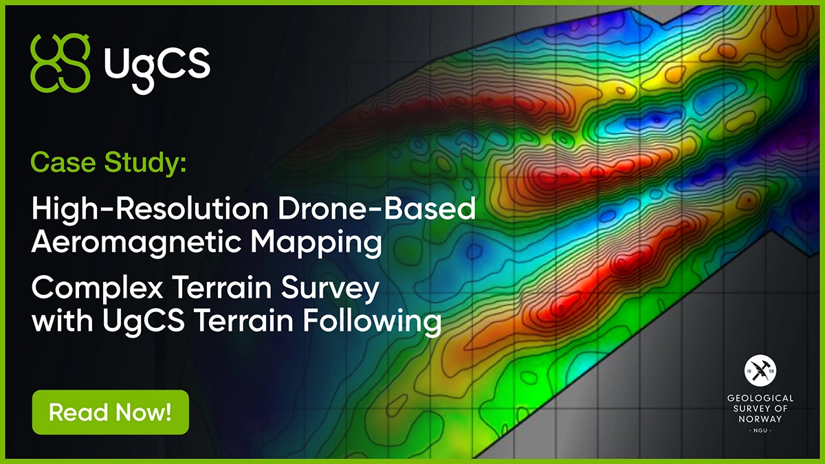
See how UgCS enabled a 10 km² aeromagnetic survey with constant 35m AGL terrain following, unlocking precise geophysical mapping for graphite deposits.
See how UgCS enabled a 10 km² aeromagnetic survey with constant 35m AGL terrain following, unlocking precise geophysical mapping for graphite deposits.