


Hold on to your telescopes: the DESI Legacy Imaging Surveys team has released the largest-ever 2D color map of the universe. The 5.6-trillion-pixel map contains nearly 4 billion celestial objects, primarily stars and galaxies. The data is available for all to use and publicly viewable through the Legacy Survey Sky Viewer. Astronomers and citizen scientists can explore the map or combine it with their own observations to better understand our universe. Researchers can search for rare phenomena like gravitational lenses, observe fleeting events like supernovae, and investigate two of physics’ biggest mysteries: dark matter, the invisible substance that accounts for most of the mass in our universe, and dark energy, the force driving our universe’s accelerating expansion. The new map builds on earlier versions from the DESI Legacy Imaging Surveys that have already proved invaluable. To date, more than 1,800 science papers that reference the Legacy Surveys data have been published. “It’s part of the fabric of astronomy research now,” said David Schlegel, a co-lead of the Legacy Surveys and scientist at the Department of Energy’s Lawrence Berkeley National Laboratory (Berkeley Lab). “When you’re working with astronomical objects today, you often start by pulling up the Legacy Imaging Viewer to see what you’re looking at.” Covering roughly 75% of the sky in visible and near-infrared light, the updated map provides a deep view of the extragalactic universe not blocked by the dust and stars of our own Milky Way. Researchers expect it will remain the most comprehensive 2D map of our universe for years to come. More than 160 scientists contributed to data collection for the project, and a team of 20 produced the final dataset released today. It was built by combining 263,407 telescope exposures from three ground-based sky surveys: the Dark Energy Camera Legacy Survey (DECaLS) at NSF Cerro Tololo Inter-American Observatory, the Mayall z-band Legacy Survey (MzLS) at NSF Kitt...
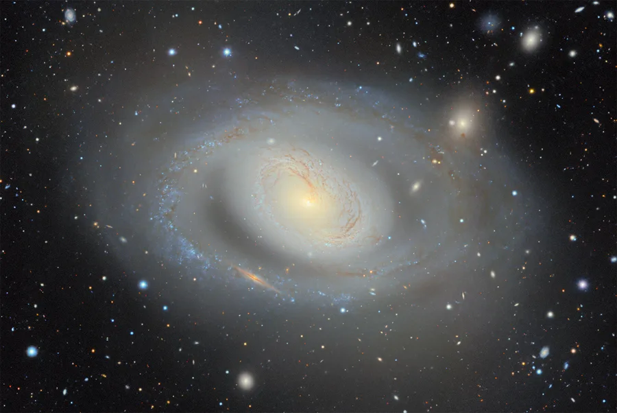
Scientists Release Biggest 2D Map of the Universe
Kady Bentley
4 min readVideo