National Oceanic and Atmospheric Administration - U.S. Department of Commerce
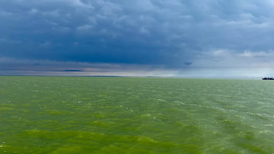
environmentharmful-algal-bloomwater-resources
coral-bleachingenvironmentoceanography
environmentoceanographysustainability
genevieve.contey
17d ago
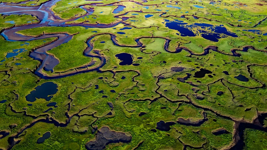
climate-scienceenvironmentland-cover
climate-scienceearth-sciencemeteorology
genevieve.contey
5/14/2026
climate-scienceearth-sciencenatural-hazards

genevieve.contey
5/12/2026
cloud-computingtechnology
genevieve.contey
5/6/2026
infectious-diseasemedicinepublic-health
kayla.smith
5/5/2026
educationpedagogy
earth-sciencemeteorology
educationeducation-policy
biologymarine-biology
genevieve.contey
4/28/2026
astronomyspace-exploration
earth-scienceremote-sensing
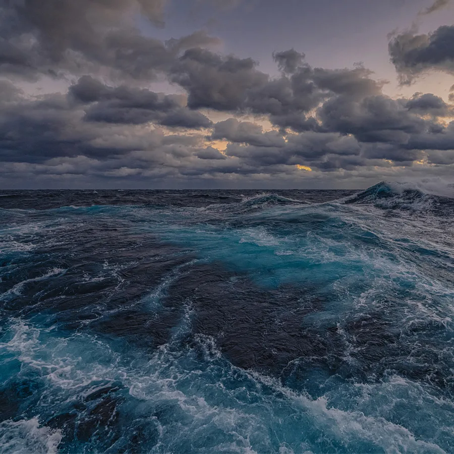
earth-scienceoceanography
earth-scienceoceanography
genevieve.contey
4/21/2026
conservationenvironment
Sign up to keep scrolling
Create your feed subscriptions, save articles, keep scrolling.
Already have an account?