


Satellite remote sensing allows rapid, detailed disaster response and planning. But the rules governing who controls and has access to the data aren’t keeping up.
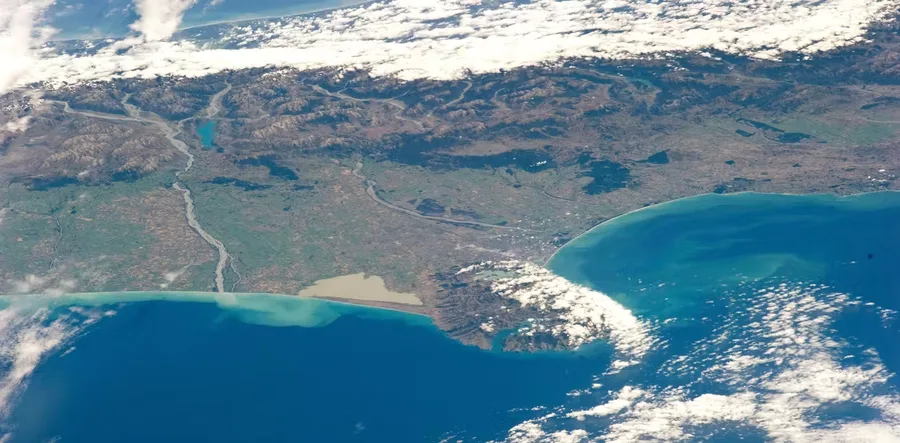
Satellite imaging is now vital for disaster management. But there are dangerous gaps in our systems
Anna Marie Brennan, Senior Lecturer in Law, University of Waikato