


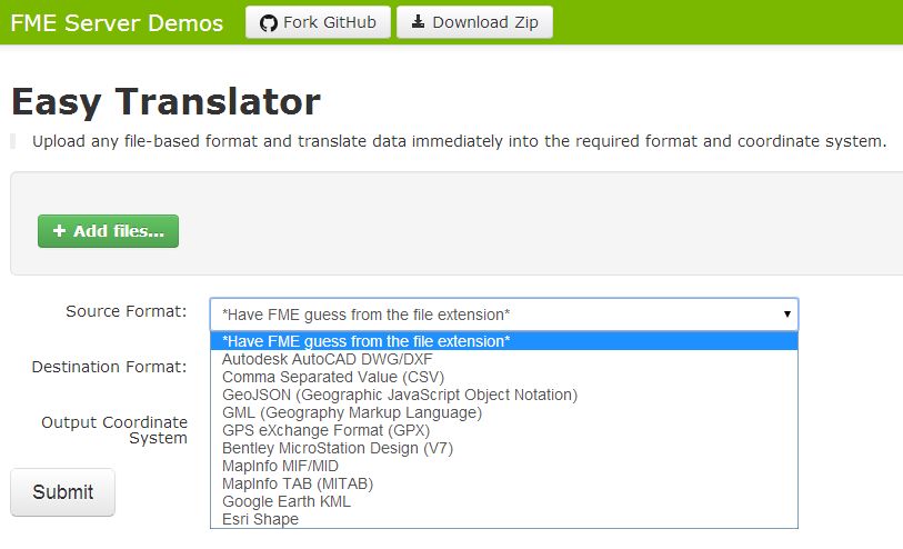
An Online Easy Translator for GIS Data The Easy Translator is available as a free web service, for immediately translating data into your required format and coordinate system. All these formats for source and output are supported: AutoCAD (DWG/DXF) CSV GeoJSON GML GPX DGN (v7) MapInfo (TAB) KML ESRI (Shapefile) Output Coordinates: WGS84 WGS84 (GeoCentric) Mercator Projection Robinson Projection Spherical Mercator The tool is available here: http://demos.fmeserver.com/easytranslator/index.html Mapperz Mapping News Blog
An Online Easy Translator for GIS Data
noreply@blogger.com (Mapperz)