
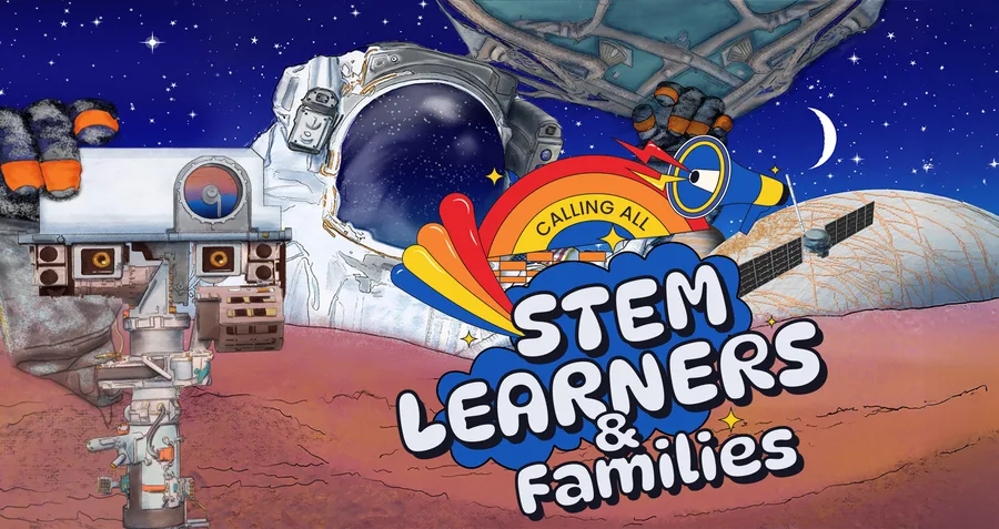
Check out these resources, adapted from the Remote Sensing Science and Engineering Curriculum. It is intended for you and family members to explore at home. NASA uses lasers to collect many types of data. LiDAR can measure the height of landforms on planets, but the Curiosity and Perseverance rovers on Mars use lasers to vaporize tiny bits of rocks. The light from the resulting spark tells what the rocks are made of.
Remote Sensing Learners & Families
planetsstem_vd0bjb