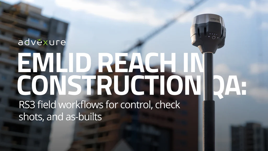
When projects move fast, waiting on a survey crew to answer basic geometry questions slows everything down. Learn how construction and VDC teams use the Emlid Reach RS3 as a supplemental GNSS tool to check control, verify work, and tie drone mapping back to the model with fewer bottlenecks and fewer surprises in QA. More
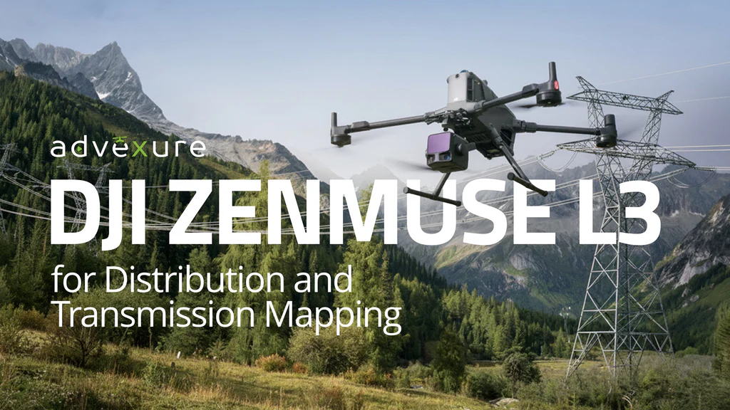
Utility corridors are getting harder to map: taller towers, denser leaf-on vegetation, and fewer chances to refly missions. We break down where photogrammetry starts to struggle, how LiDAR solves those gaps, and why the DJI Zenmuse L3 gives utilities and service providers a more reliable way to capture conductor geometry, ground under canopy, and year round clearance data for transmission and dis…
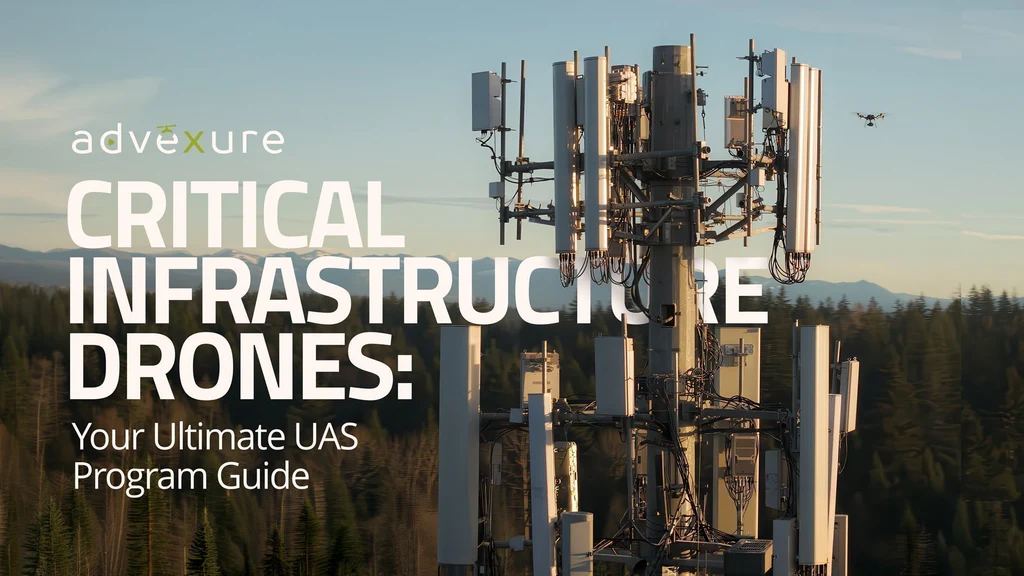
A practical guide to where drones fit in critical infrastructure inspections, what to look for in aircraft, sensors, and software, and how to build an in house program that your safety, IT, and regulatory teams can support. More
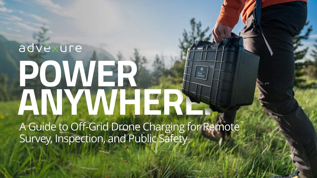
When your drone program takes you off-grid, power becomes the biggest limiting factor. This guide breaks down the hidden costs of short flight times, the real-world impact across public safety, utilities, and environmental sectors, and how Colorado Drone Chargers helps teams charge faster, carry less, and stay mission-ready. More
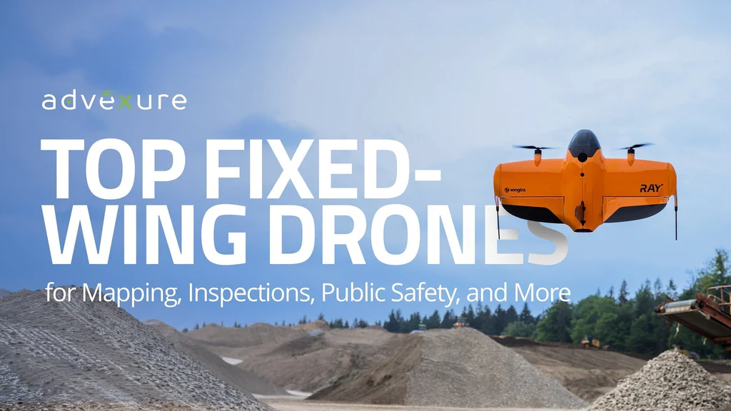
Fixed-wing drones remain essential tools for professionals mapping large areas, monitoring long corridors, or operating in remote or rugged environments. This guide explores the top commercial-grade fixed-wing platforms available today, breaking down their strengths, use cases, and key specifications to help you find the right fit for your mission. More
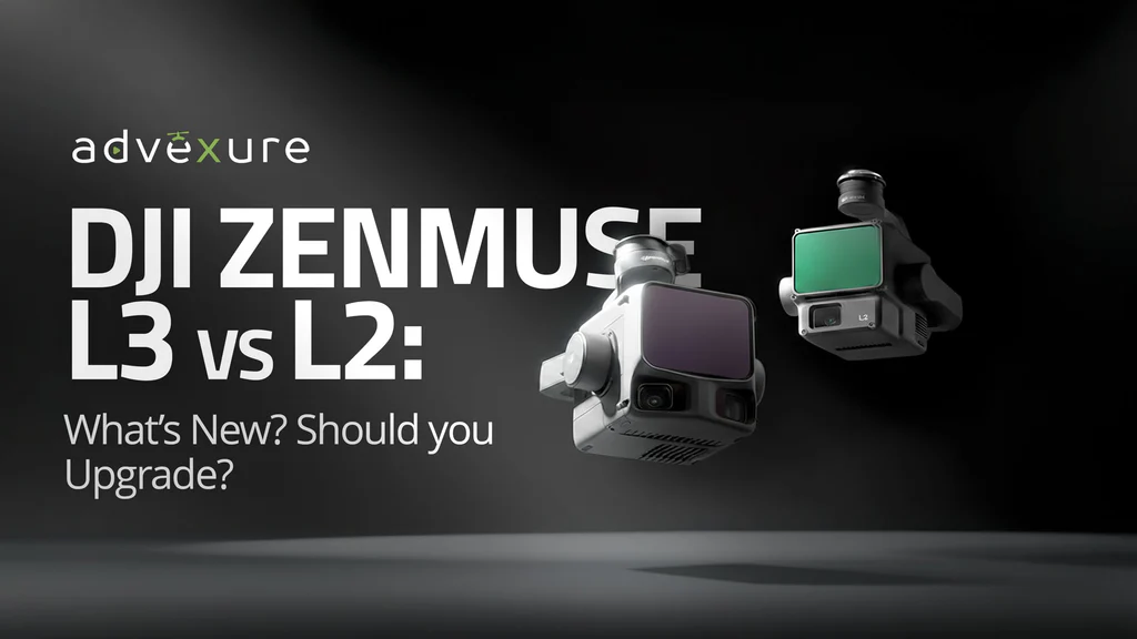
Comparing DJI’s newest LiDAR system (the Zenmuse L3) with the widely adopted L2, this guide breaks down everything surveyors, engineers, and drone program leads need to know. Explore range, accuracy, RGB imaging, platform compatibility, pricing, and whether upgrading to the L3 makes sense for your fleet in 2025. More
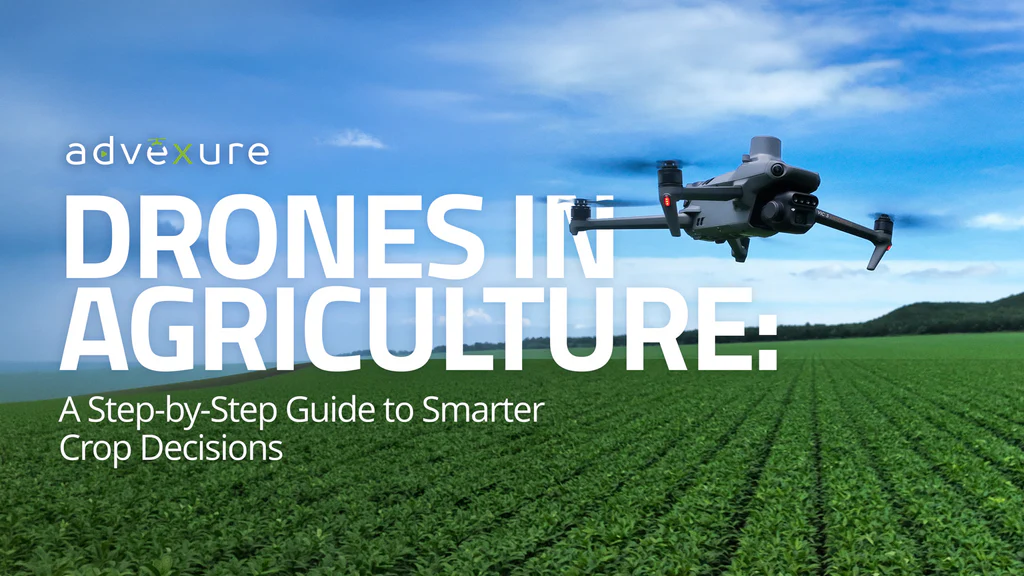
Most growers already know what they want from precision agriculture, but not how to get there. This guide walks farmers through the first steps of adopting drone aerial intelligence for crop management. Learn how to choose the right drone, capture and process field data, and turn imagery into actionable insights that improve plant health, optimize inputs, and strengthen yields. More
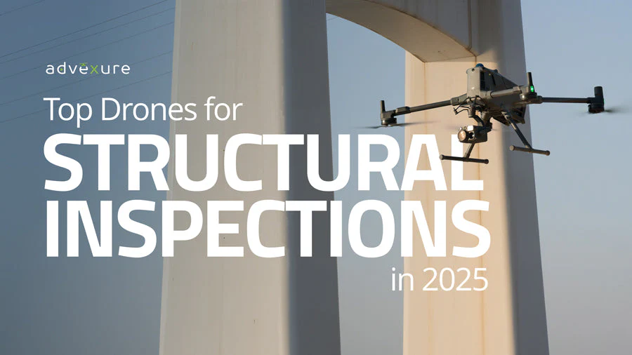
From roof inspections and facade surveys to NBIS-compliant bridge assessments, the right drone for inspection work depends on your specific workflow. In this guide, we break down the top platforms on the market in 2025 and help you find the right tool based on flight time, sensor type, compliance, and use case. More
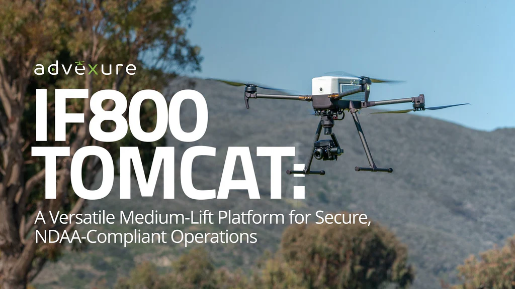
IF800 TOMCAT is an American-made, NDAA-compliant quadcopter built for demanding commercial missions. With 54-minute flight times, a Smart Dovetail payload system, and support for over two dozen sensors, it’s a reliable, field-ready platform for professionals across public safety, infrastructure, energy, and agriculture. More
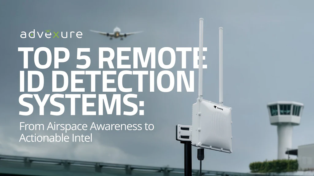
Track unauthorized drones before they interfere. Discover 5 top Remote ID detection systems built to give public safety and security teams real-time airspace awareness. More
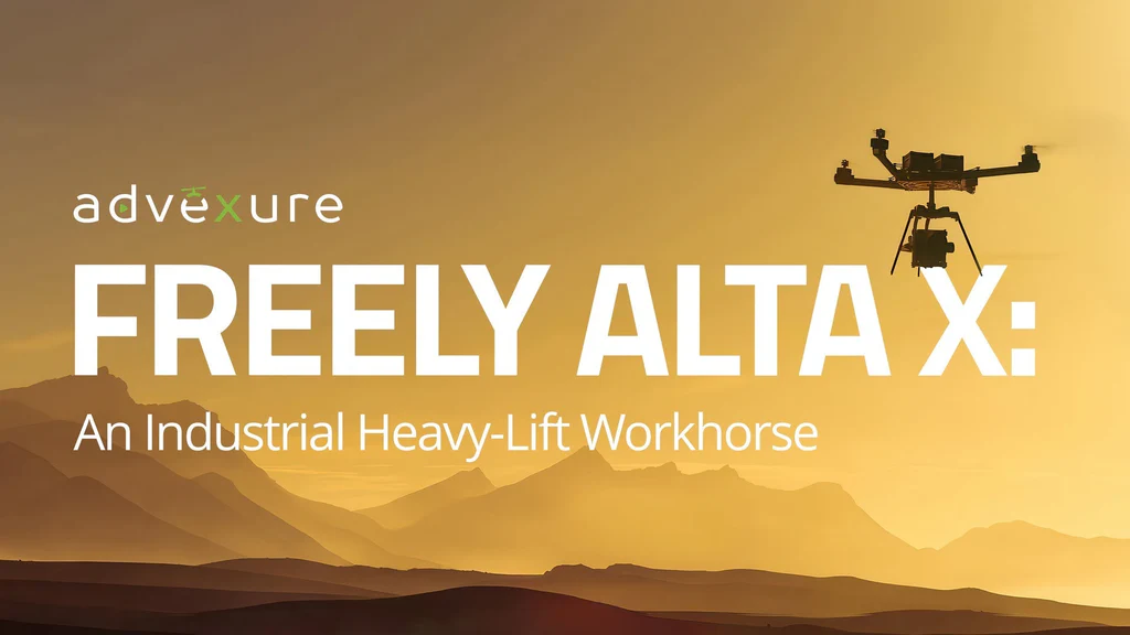
Freefly Alta X moves bigger sensors with 35 lb of lift and brings back cleaner data with proprietary ActiveBlade. Read our deep dive to see how quick payload swaps work today and what Gen2 adds with Skynode in Q1 2026. More
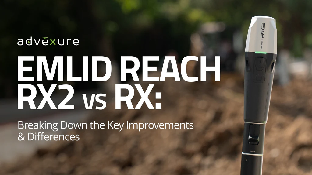
The new Emlid Reach RX2 refines what the original RX started. Learn how stronger satellite tracking, built-in tilt compensation, and a ruggedized design help crews keep precision under canopy, reduce setup time, and collect dependable data wherever their work takes them. More
Compare Emlid's three flagship products: Reach RS4 Pro, RS4, and RS3, to pick the right GNSS receiver for your workflow and operations. In this guide, we look at accuracy, tilt speed, GNSS bands, radios, and build quality to help you make an informed investment. More
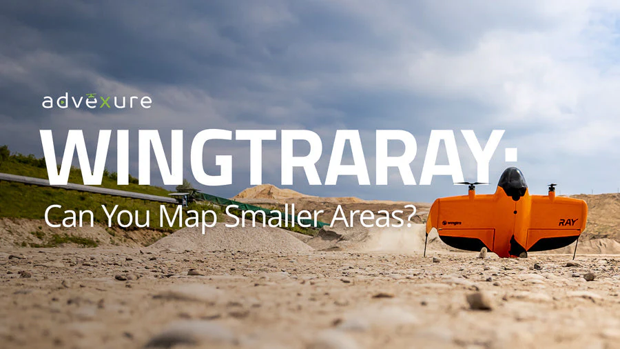
Wingtra has built a reputation for efficent VTOL fixed-wings for mapping very large sites: mines, quarries, highways, and extensive corridors. But what if your jobsite is smaller? What if you need to capture data for a single field, a small construction site, or an environmental research plot? Can a fixed-wing platform designed for efficiency over square miles also deliver accurate results at a m…
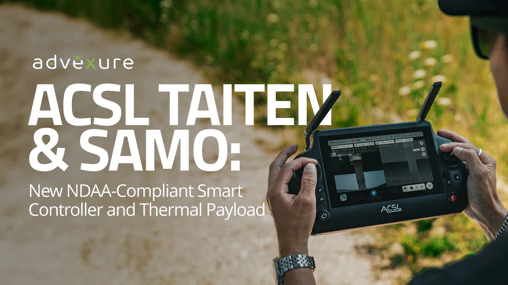
Learn about ACSL’s new TAITEN smart controller and upgraded SAMO thermal payload for the SOTEN platform. Get hands-on insights, feature breakdowns, and see how this NDAA-compliant ecosystem is evolving for real-world applications. Read more. More
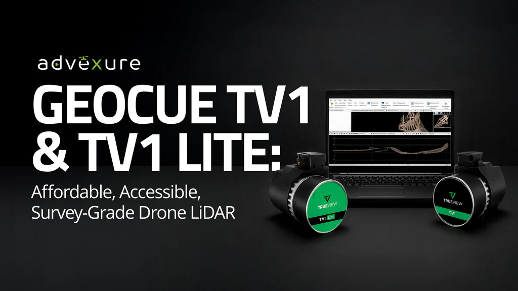
Considering LiDAR for your drone operations? Learn how GeoCue’s TrueView 1 and TV1 Lite stack up. We break down features, software, pricing, platform compatibility, and ROI to help you choose the right sensor for your mapping workflow. Read More. More
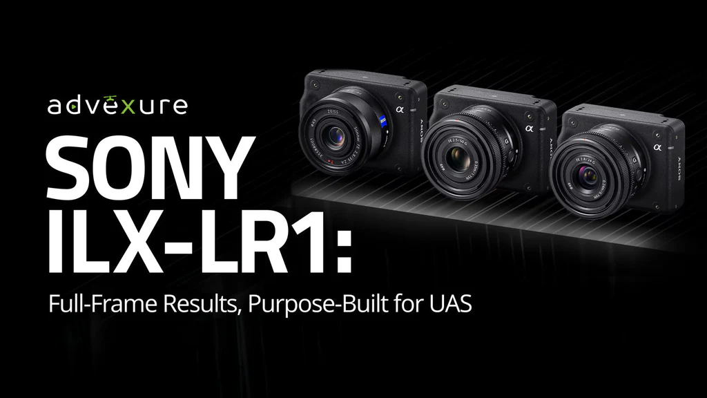
Considering the Sony ILX-LR1 for mapping? Get a clear look at The LR1's 61 MP full-frame resolution, lens options, drone compatibility, and Sony's Camera Remote Toolkit control. Learn more. More
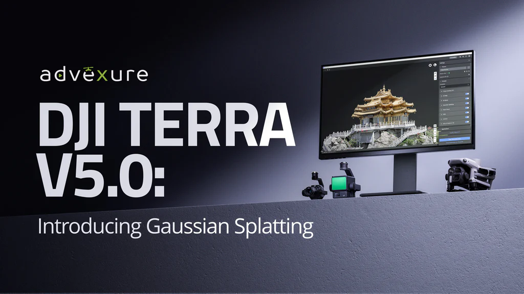
Explore DJI Terra V5.0’s Gaussian Splatting—where it outperforms traditional photogrammetry and where it doesn't, what it means for AEC, utilities & heritage projects, plus new pricing and license options. Learn more. More
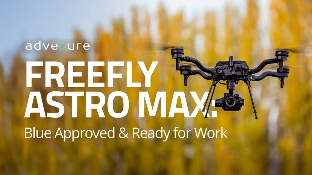
Read our deep-dive blog on Freefly Astro Max: Blue-listed, 3 kg lift, 28-39 min flights, LiDAR/thermal mapping payloads, pricing & use-case insights. Learn more. More
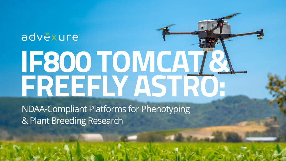
Modern plant breeding and crop science hinge on plant phenotyping , the measuring of physical and biochemical traits of plants, to evaluate how different genetics and treatments affect growth and yield. Traditionally, phenotyping crops in the field has been a slow, labor-intensive process, often requiring destructive sampling of plants for measurements. Today, drone-based remote sensing is transf…
agriculturecrop-sciencesustainable-farming
research.io
Sign up to keep scrolling
Create your feed subscriptions, save articles, keep scrolling.