
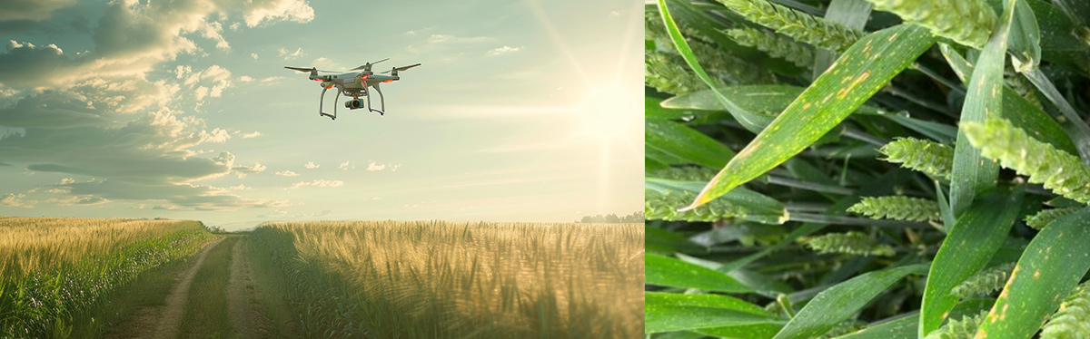
Drone prescription maps in wheat farming become valuable only when they help a team decide what to do next. A sharp image alone is not the outcome. The real outcome is whether drone capture, agronomic logic, and machinery-ready outputs can support a more targeted protection decision at the right moment. That is the practical angle behind the AgriDrone project, in which AGRIVI and Skyline Drones integrate field imaging, analytics, and prescription mapping into a single, usable workflow. This...
From Drone Imagery to Prescription Maps: How AgriDrone Supports Targeted Wheat Protection
Barbara Busic