
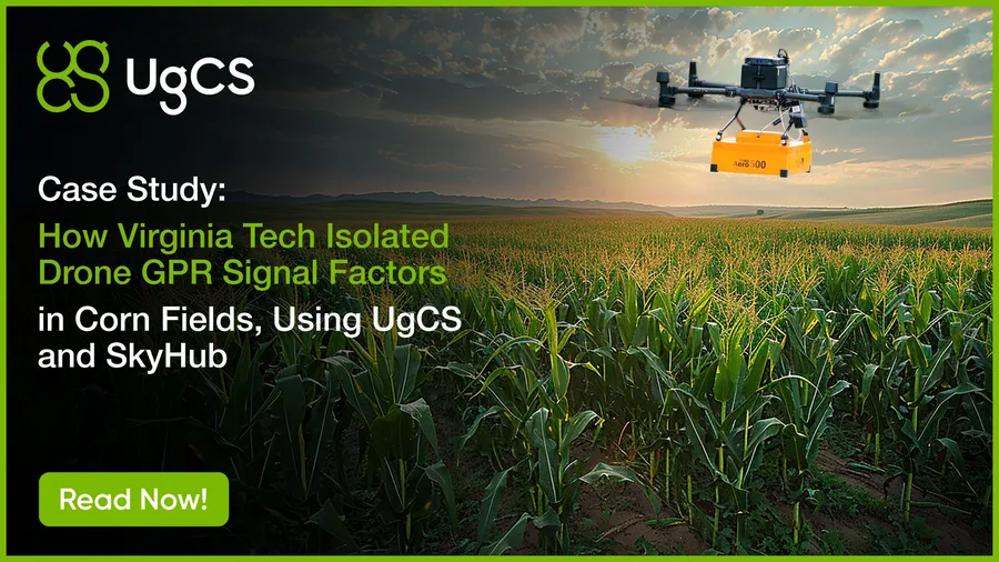
Virginia Tech used UgCS and SkyHub to isolate how altitude, topography, biomass, and canopy water content affect drone GPR signals across a full corn growing season. Read the peer-reviewed results.
Drone GPR in Corn Fields Case Study | UgCS & Virginia Tech
Tags