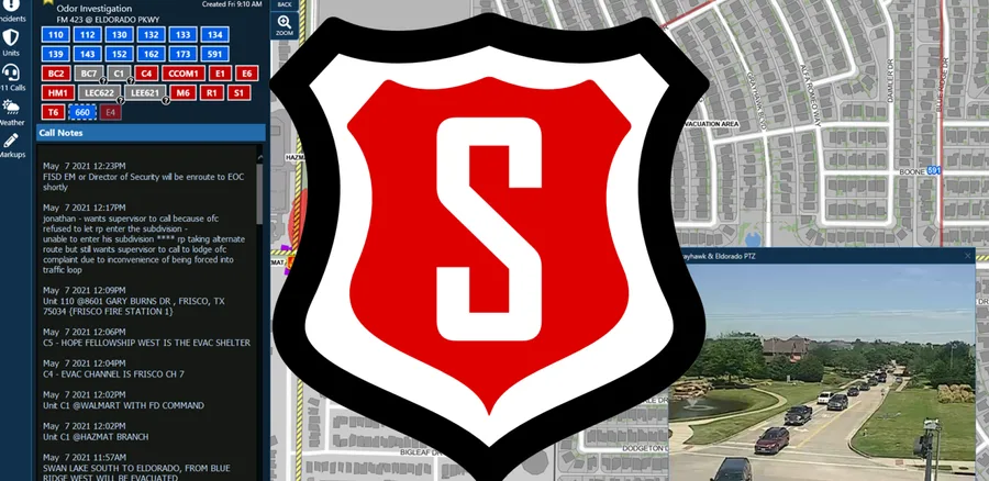
What to Know: SAFER connects more than 30 systems, including indoor maps, cameras, traffic data and fire safety information, in one geospatial environment for first responders. Frisco uses Esri’s ArcGIS technology and is migrating indoor data to the ArcGIS Indoors model, with more than 200 buildings already represented. The platform now provides access to more than 7,000 cameras, while city staff continue developing new mobile, desktop and fire watch capabilities in-house.