
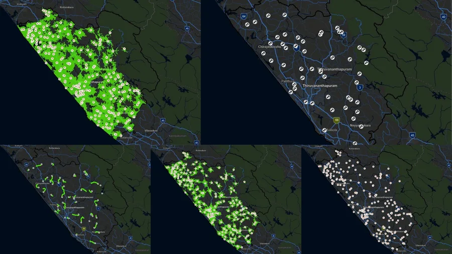
Using Closest Facility routes and Service Area coverage to evaluate hospital accessibility to accident locations. Introduction: Network Analysis and its real-world uses Network analysis in GIS models movement through a connected transportation network (roads), using real travel rules such as junction connectivity, one-way streets, turn restrictions, and time/distance costs. Unlike straight-line distance, network analysis answers practical questions like: Which hospital can reach an accident...
Emergency Response Planning with ArcGIS Pro Network Analysis
Nithin B R