
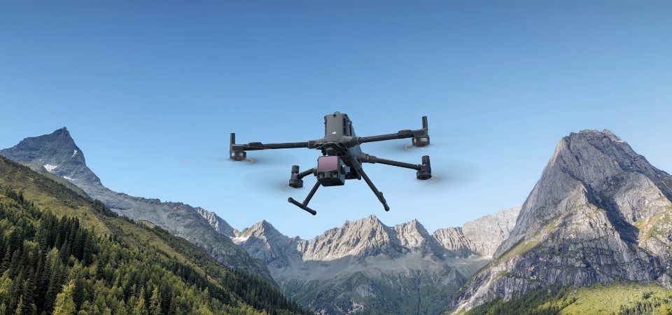
DJI once again pushes the boundaries of aerial mapping with the launch of the Zenmuse L3, a next-generation LiDAR sensor designed to meet the requirements of professionals in geomatics, civil engineering, forestry, mining and infrastructure inspections. The successor to the Zenmuse L2, already renowned for its precision, the L3 marks a new milestone with extended […]
DJI Zenmuse L3: the new LiDAR reference for professional aerial mapping
marketing
Tags