


Public Transport - Google Maps Update Today, Google Maps is helping you get around on public transit even more easily with these additions: every single transit route in Great Britain to Google Maps—making it easier to get anywhere from Land’s End to John O’Groats. On the other side of the globe, Vancouverites looking for sun can now get real-time updates on whether a bus to Kits is faster than one to Third Beach. In Chicago , Cubs fans can now zip to and from Wrigley Field, armed with the real-time information they need to hop on a bus and avoid congestion on Lake Shore Drive. And finally, just in time for the games, recently added transit information for every host city in Brazil . Source: http://google-latlong.blogspot.ca/2014/05/hop-on-boardand-go-almost-anywherewith.html Mapperz Mapping News Blog
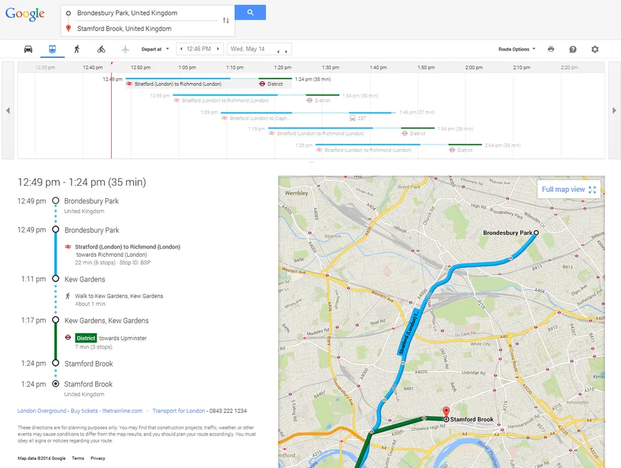
Public Transport - Google Maps Update (May 2014)
noreply@blogger.com (Mapperz)