
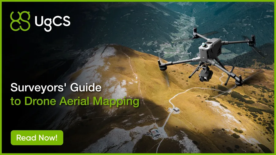
Expert drone mapping and aerial survey guide covering workflows, data accuracy, flight planning, and software. Learn how professionals capture, process, and deliver survey-grade results.
Drone Mapping Guide for Professionals (2026)
Tags
Expert drone mapping and aerial survey guide covering workflows, data accuracy, flight planning, and software. Learn how professionals capture, process, and deliver survey-grade results.