
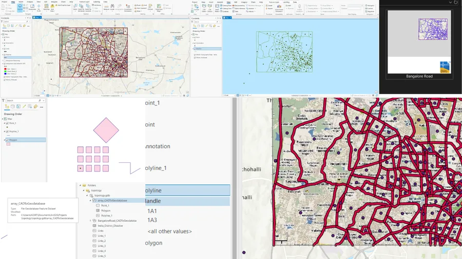
Introduction The convergence of CAD (Computer-Aided Design) and GIS (Geographic Information Systems) has unlocked new possibilities for professionals working in urban planning, civil engineering, environmental management, and infrastructure development. AutoCAD is a widely used tool for designing and drafting, while ArcGIS Pro provides powerful spatial analysis and mapping capabilities. Integrating CAD data into GIS platforms like ArcGIS Pro allows for enhanced geospatial insights,...
From CAD to GIS: A Practical Guide to Using AutoCAD Data in ArcGIS Pro
Ajay K