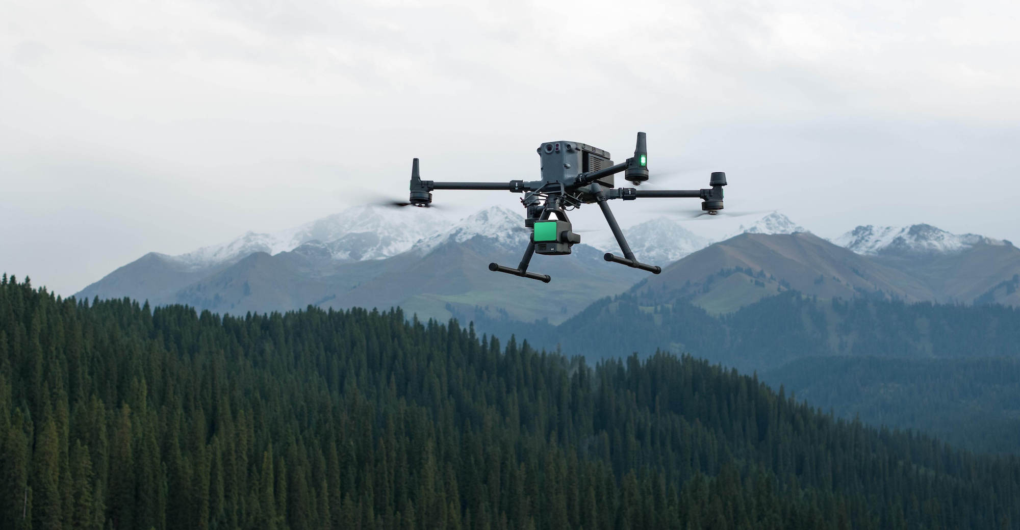
DJI remains the undisputed leader in aerial LiDAR technologies. With the launch of the Zenmuse LiDAR range, and more recently the Zenmuse L3, DJI now offers ever more powerful sensors for professionals in mapping, surveying, infrastructure inspection and environmental management. In this article, we take a closer look at the Zenmuse L2, its features and […]